Potential severe weather across region on Monday
Published 5:31 pm Sunday, March 24, 2024
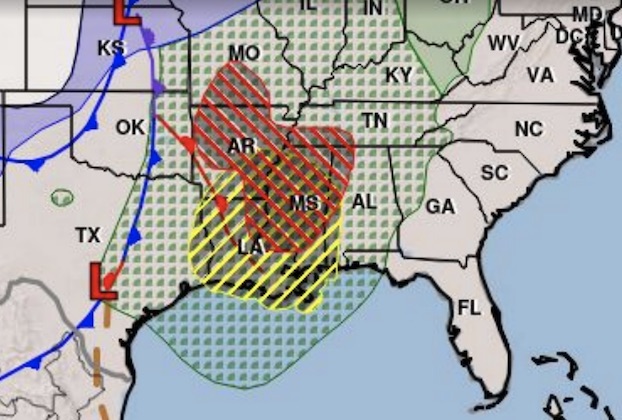
A squall line is expected to develop along the leading edge of a cold front that will move across Southwest Louisiana on Monday.
Storms both ahead of and within the squall line will have the potential to become severe with tornadoes, damaging winds and large hail possible, said Donald Jones, a meteorologist with the National Weather Service’s Lake Charles office.
“We are still in what is considered our severe-weather season across the region, although we are at the tail end of it,” Jones said. “Nonetheless we are still looking at a fairly decent cold front rolling through the area, but the more important thing is a squall line that is going to be accompanying that cold front. That is what’s going to bring us our severe weather risk.”
Jones said the front will move through the area “a pretty good portion of the day” on Monday.
“It’s not going to be the entire day for everyone, but the squall line is going to move from east to west across the area and it’s going to take some time for it to actually move though,” he said. “During that period when that squall is moving through that’s when you’re going to be looking at the potential for some severe weather.”
The cold front is expected to reach the southeast Texas area by about 10 a.m. and then slowly move into Southwest Louisiana.
He said periods of rainfall could lead to localized street flooding.
Outside of the storms, wind gusts could reach as high as 35 mph during the day.


