Severe storms headed to area Wednesday night
Published 2:55 pm Tuesday, January 18, 2022
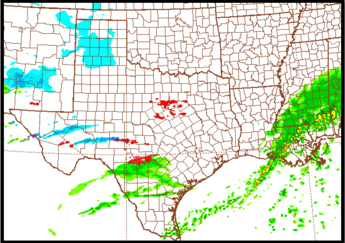
A line of strong to severe storms will move through Southwest Louisiana Wednesday night into early Thursday morning.
Isolated tornadoes and damaging winds will be the primary hazards, said Roger Erickson, warning coordination meteorologist with the National Weather Service’s Lake Charles office.
Erickson said the threat will end at about 8 a.m. Thursday.
Thursday’s temperatures are forecast to reach as high as 52 with lows in the 30s.
Erickson said lingering precipitation late Thursday night into Friday morning could turn into freezing rain or sleet.
Little to no accumulation is currently expected, but this will bear watching this week, Erickson said.